Weekend Outlook 12/29/2022-01/01/2023 (New Years Weekend)
Trail Damage Warning:
Whites Creek had some serious flooding in the early August round of downpours. Major trail damage along much of the lower section of trail as well as some of the upper section. The local trail managers are all aware of the damage and would appreciate users seeking alternate routes until they are able to get repairs done. Due to the extensive nature of the current damage, that may not be this year. If you are planning on doing the Dry Pond loop, be careful or consider an out and back on the Thomas Creek side.
Weekend Events:
Here are the events that are on the radar for this weekend:
Thursday, December 29:
5:45 pm
Silver State Striders will be running 7 ish miles of hills starting and ending at Eclipse Running (Moana & Lakeside). Headlamps and reflective clothing are a must. Traction aids are also suggested due to the chance of ice on the route. Check their Facebook Group Page for more details. You can also find their training schedule on their website at this link.
Saturday, December 31:
New Years Eve
Sunday, January 01:
New Years Day
TBD
Silver State Striders are hosting their annual Peavine Challenge. Due to the weather forecast the preliminary plan of 9am at the East Keystone Canyon Trailhead is tentative. They will update their Facebook Group Page, linked here, on Friday with more solid details.
10:30 am
Radical Adventure Riders (RAR) Reno and Northern Nevada Bikepacking are teaming up to bring you Coffee Outside. This week’s morning cup of micro-adventure on bikes will meet at Crissie Caughlin Park. More information about joining can be found by following @coffeeoutsidereno on Instagram.
Trail Outlook
On one hand, the rain at the beginning of the week pushed the snow and ice way uphill compared to last week. On the other, all the soil is fully saturated so we will have widespread heavy mud under whatever mix of snow and rain comes down this weekend. And that snow and rain is the primary outlook. Thursday morning may start with a dusting of now on the mountain before the storm warms up and delivers massive amounts of rain/snow mix through Sunday morning. While Sunday morning is expected to end on a snowy note, the dirt underneath will be very soft and unsupportive. At upper elevations will be a different story. If the roads are open, there will be plenty of powder over packed and groomed trails around Tahoe Meadows and Chickadee Ridge. Much like last weekend, with the holiday spanning Saturday and Sunday there is a good chance you won’t be alone if you head for the snow capped places.
If you are swapping the running and riding for a little back country sliding, check out the latest avalanche conditions over at Sierra Avalanche Center. The wind that came with the midweek storm has seriously increased the avalanche risk in the region. Knowing where to look can make the difference of coming home.
If you get out, let us know what you saw by submitting a trail report.
Be kind, be safe, and enjoy.
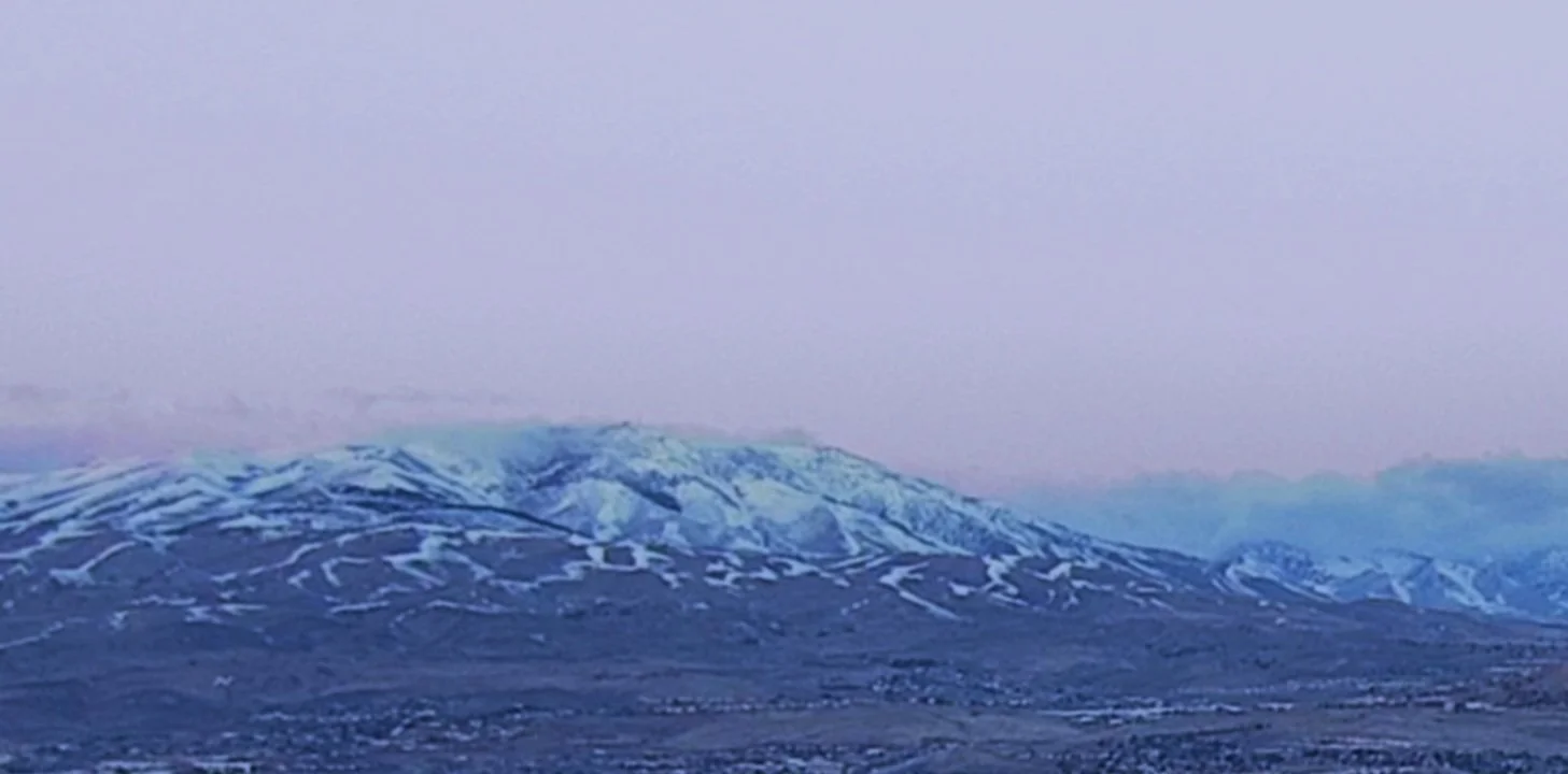
December 28, 2022 Peavine just before sunrise. Fingers of snow remain on most ridgelines but rain has melted up the rest to above the midmountain. Image from ALERTWildfire.com’s Hillside camera.
